


When the Indian Meteorological Department (IMD) forecasted rainfall for August, the predicted rain was 97 per cent of the long average period (LPA) with plus or minus 9 per cent error margin. The average monsoon is in the range 96 to 104 per cent of the long average period.
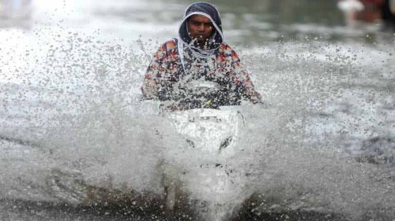
Contrary to the IMD forecast, in August the country received 27 per cent more rainfall than the normal. According to IMD, this rainfall amount is fourth highest in the last several years. The rainfall received from June to August was 10 per cent more than the average rainfall. The normal rainfall in India occurs from June to September.
August 2020 is one of the rainiest months of the month as compared to previous august months in several years. August 1926 had 33 per cent more rainfall than usual and also made a record of the highest precipitation in the month. 1976 had 28.4 per cent more rain than usual, 1973 had 27.8 per cent more rainfall than average, and this year in 2020 it’s 27 per cent more rainfall than usual.
Vice President of Skyler Weather, Mahesh Palwat said that August received the highest rainfall due to the formation of low-pressure areas in the Bay of Bengal. A low-pressure area is said to be a cyclonic circulation and is the first stage of the cyclone. But every low-pressure area does not necessarily develop a cyclonic storm.
Jenamani said that the five low-pressure areas were formed in the bay of Bengal and these low-pressure areas resulted in massive rains in the several parts of India. Among the total low-pressure areas formed, four developed into a well-marked low-pressure area. This low-pressure area resulted in causing floods due to heavy rainfalls in many parts of the country.
Let us know in detail about the five low-pressure areas
- The first low-pressure area was formed between August 4 to 10 off the Odisha Coast.
It travelled across central India and Gujrat and then entered into the Arabian sea and finally dissipated over Oman coast.
- The second low-pressure area was formed between August 9 to 11 of the Andhra Pradesh-Odisha coast.
It moved across Chattisgarh and then to North East Madhya Pradesh. Some of it then moved to North-West India causing floods in Jaipur on August 14.
- The third low-pressure area was formed between August 13 to 18
The third wave also moved across Chattisgarh to northeast Madhya Pradesh but then during August 18 to 20 some of its remnants moved in circulation to northeast Rajasthan and South Punjab. This resulted in heavy rains over northwest India. This was almost at the same time when Delhi NCR witnessed flooding due to incessant rainfalls.
- The fourth low-pressure area was formed between August 19 to 26
It moved across central India to Southwest Rajasthan adjoining Pakistan. This caused floods over Odisha on August 20 to 22, Telangana, Warangal and parts of Hyderabad on August 21, West Madhya Pradesh on August 22 and Gujrat and south Rajasthan on August 23 and 24.
- The fifth and the last low-pressure area was formed between August 24 to 32
The month of June had also recorded more rainfall than the average amount. It had 17 per cent more rain than average. But July recorded less rainfall than usual, it had 10 per cent less than the average rainfall.
According to IMD, the rainfall in the country during the second half of season is likely to be 104 per cent of the Long Average Period with an error margin of 8 per cent.

